
Fires, roads & flood warnings
Check current conditions near your site before arranging travel or electrical work. For safety instructions and route decisions, open the official maps below.
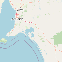
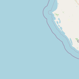
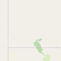
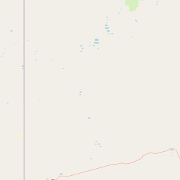
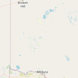
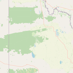
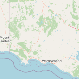

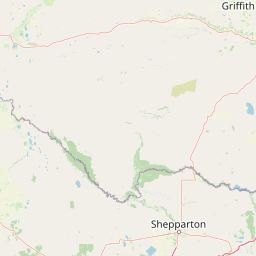
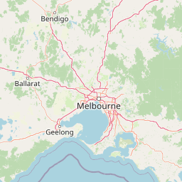
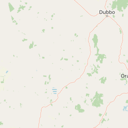

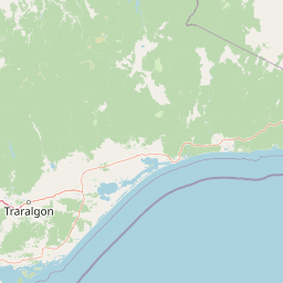
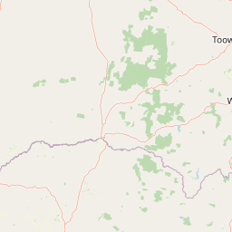
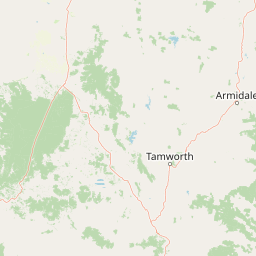
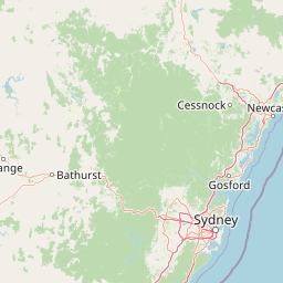

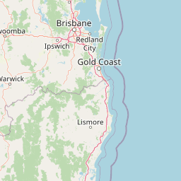
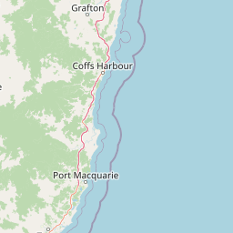
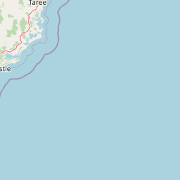






Fire information © State of New South Wales (NSW Rural Fire Service). For current information go to www.rfs.nsw.gov.au. Road reports: Transport for NSW. RFS updates incidents approximately every 30 minutes; incident locations may be approximate. Road pins show reported crashes or delays, not continuous traffic speed on every road.
Check flood warnings before travelling
Live warnings show current or imminent hazards. They do not show every property’s long-term flood risk; check the local council’s flood mapping for site-specific planning.
Explore NSW land and planning maps
Use the official viewers to explore an address, planning controls and available spatial layers. For a property’s current flood mapping, confirm the result with its local council; these tools are separate from live SES warnings.